| BELIZE |
| Belize | Picture Description |
|---|---|
 |
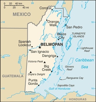
Map of Belize
Population : 419,199 (2020) Median age: 23.9 years Fertility rate: 2.66 children/woman(2021) Currency: Belize dollar GDP per capita: PPP $9,576 (2019) GDP per capita: Nominal $4,890 (2019) Population below poverty line: 41% Labor force - by occupation: Agriculture 10.2%, Industry 18.1%, Services 71.7% Source : CIA Factbook
|
 |
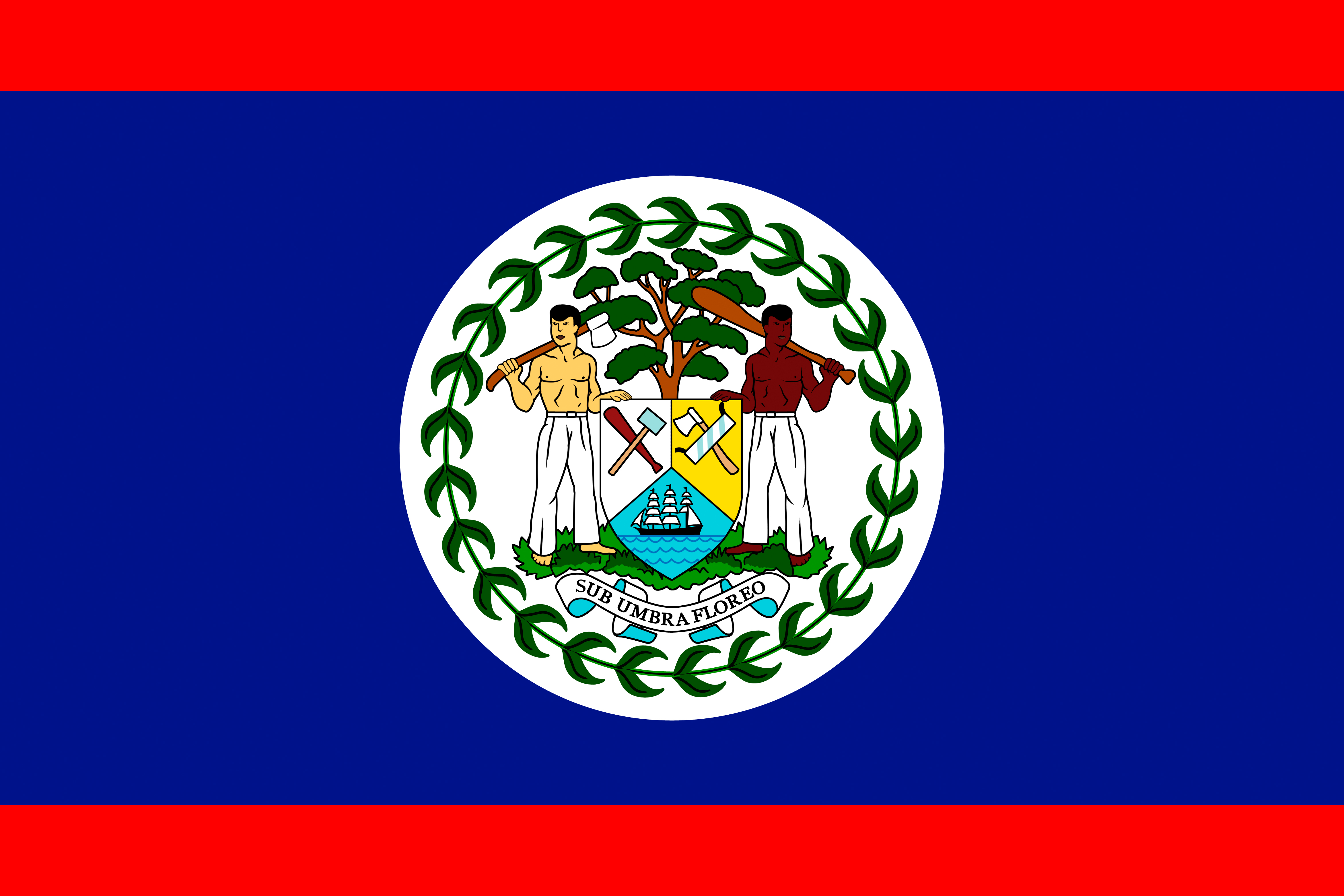
The National Flag of Belize
Belize was the site of several Mayan city states until their decline at the end of the first millennium A.D. The British and Spanish disputed the region in the 17th and 18th centuries; it formally became the colony of British Honduras in 1862. Territorial disputes between the UK and Guatemala delayed the independence of Belize until 1981. Guatemala refused to recognize the new nation until 1992 and the two countries are involved in an ongoing border dispute. Both nations have voted to send the dispute for final resolution to the International Court of Justice. Tourism has become the mainstay of the economy. Current concerns include the country's heavy foreign debt burden, high crime rates, high unemployment combined with a majority youth population, growing involvement in the Mexican and South American drug trade, and one of the highest HIV/AIDS prevalence rates in Central America |
| Altun Ha Mayan Ruins
Location : Altun Ha On our way to Altun Ha; the Driver is friendly and professional. |
|
| Altun Ha Mayan Ruins
Location : Altun Ha Altun Ha are Mayan Ruins 50km (31miles) north of Belize City and 10 kilometres (6.2 mi) west of the shore of the Caribbean Sea. The site covers an area of about 8 square kilometres (3.1 sq mi). The earliest structures found at Altun Ha, found in Zone C, are two round platforms that date to about BC 900−800. |
|
| Altun Ha Mayan Ruins
Location : Altun Ha Altun Ha garnered attention from archaeologists in 1963. Pictured here, the largest of Altun Ha's temple-pyramids, the "Temple of the Masonry Altars", is 16 metres (52 ft) high. This was also known as the Sun God's Tomb. |
|
| Altun Ha Mayan Ruins
Location : Altun Ha Belize Institute of Archaeology says the site's name means "Rockstone Water". It is a Yucatec Mayan name of the nearby village of Rockstone Pond. In Yucatec Mayan, "haltun" is a stone water deposit or cistern, and "ha" means water. The Mayans here ate a staple of Maize (Corn) and seafood. |
|
| Xylophone
Location : Belize Xylophone player |
|
| Belize Countryside
Location : Belize English and Spanish are the official languages of Belize. This stems from the country being a former British colony. Belize is the only country in Central America with English as the official language. |
|
| Belize Countryside
Location : Belize Belize has tropical weather; very hot and humid with a rainy season from May to November. This house is on stilts to prevent flooding |
|
| Fruit Stand
Location : Belize Spanish conquistadors explored the land and declared it part of the Spanish Empire, but they failed to settle the territory because of its lack of resources and the hostile tribes of the Yucatán. |
|
| Belize District
Location : Belize The first British permanent settlement was founded around 1716 in what became the Belize District. The British first appointed a superintendent over the Belize area in 1786. |
|
| Fruit Vendor
Location : Belize Belize was granted independence on 21 September 1981. Guatemala refused to recognize the new nation because of its longstanding territorial dispute with the British colony, claiming that Belize belonged to Guatemala. About 1,500 British troops remained in Belize to deter any possible incursions. |
|
| Belize
Location : Belize Britain granted British Honduras self-government in 1964. On 1 June 1973, British Honduras was officially renamed Belize. |
|
| Belize
Location : Belize Belize is a parliamentary constitutional monarchy. The structure of government is based on the British parliamentary system, and the legal system is modelled on the common law of England. The head of state is Queen Elizabeth II, who holds the title Queen of Belize. The Queen lives in the United Kingdom, and is represented in Belize by the governor-general. |
|
| Belize
Location : Belize The Maya were in Belize and the Yucatán region since the second millennium BC. Much of Belize's original Maya population was wiped out by conflicts between warring tribes. Many died of disease after contact and invasion by Europeans. Three Maya groups now inhabit the country: The Yucatec, the Mopan, and Q'eqchi'. These groups live chiefly in the Toledo District. The Maya speak their native languages and Spanish, and are also fluent in English and Belize Kriol. |